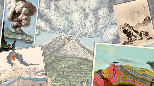
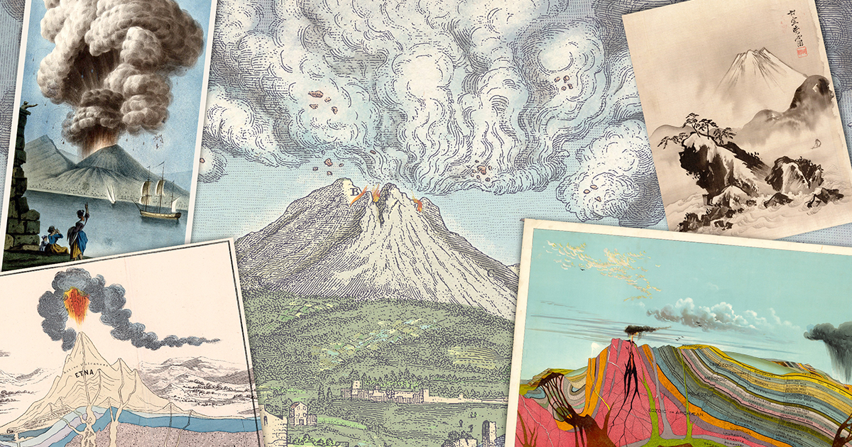
10 Critical Facts About Predicting Volcanic Eruptions Like Weather Forecasts
When Mount Pinatubo exploded in 1991, it was one of the most destructive volcanic events of the 20th century. Pyroclastic flows and ash clouds devastated the Philippines, killing hundreds and displacing thousands. In the aftermath, scientists wondered: could we ever forecast such events with the same reliability as a thunderstorm? Today, volcanology has made remarkable strides, but the question remains complex. This list explores the current state of eruption forecasting—what we’ve achieved, where we struggle, and what the future might hold. From seismic swarms to satellite gas measurements, each piece of data brings us closer to saving lives. But unlike weather, volcanoes are stubbornly individualistic. Here are 10 key things you need to know about the quest to predict volcanic eruptions like weather.
1. Volcanoes Are Not Cyclones: Why Forecasting Is Harder
Volcanoes don’t follow simple atmospheric rules like low-pressure systems. Each volcano has its own magma plumbing, pressure dynamics, and eruption style. Weather forecasting relies on fluid dynamics models that work globally; volcanism depends on local geology, magma composition, and even stress changes from tectonic slip. For instance, Pinatubo’s 1991 eruption was preceded by a series of earthquakes and ground deformation, but predicting the exact moment required interpreting subtle signals. Unlike hurricanes, which can be tracked days out, volcanoes can accelerate from calm to catastrophic in hours. This variability makes a one-size-fits-all model impossible. Volcanologists must tailor monitoring to each peak, using historical data and real-time sensors to estimate probability rather than certainty.
2. Seismic Monitoring: The Pulse of the Mountain
Earthquakes are the most reliable sign that magma is moving. When rock fractures under pressure, small quakes called volcano-tectonic events occur. Deeper quakes generally indicate rising magma, while shallow tremors often mean an eruption is imminent. Networks of seismometers can locate hypocenters and track swarm patterns. Before Pinatubo’s 1991 blast, scientists recorded a sharp increase in seismic activity—from a few quakes per day to hundreds. However, not all swarms lead to eruptions; some volcanoes “rumble” for years without blowing. The challenge is distinguishing pre-eruptive tremors from harmless skips. Advanced algorithms now help filter noise, but false alarms remain a problem. Seismic data is the foundation, but it’s rarely sufficient alone.
3. Ground Deformation: The Inflating Bulge
Magma pushes up the ground, creating telltale bulges. Using GPS, tiltmeters, and satellite radar (InSAR), scientists can measure millimeter-scale changes. Before Pinatubo, the volcano’s north flank swelled by 2 meters in just four months—a clear sign of pressure buildup. Similarly, Mount St. Helens inflated before its 1980 eruption. But deformation is not uniform: some volcanoes deflate before erupting, confusing predictions. Real-time data from continuously operating GPS stations allows alerts if inflation accelerates. Yet, interpreting the rate and pattern requires experience. For example, a sudden slowdown might mean magma has stalled—or is about to break through. Ground deformation is a key to predicting the where and how of an eruption, if not always the when.
4. Gas Emissions: The Smell of an Eruption
Volcanic gases—especially sulfur dioxide (SO₂) and carbon dioxide (CO₂)—offer clues about magma depth and degassing. Rising magma releases more gas, detectable by ground-based spectrometers or satellites. At Pinatubo, SO₂ emissions spiked weeks before the eruption. Monitoring stations can measure ratios of gases: a shift toward more SO₂ relative to CO₂ suggests magma is approaching the surface. But gas plumes are wind-dependent and can be masked by weather. Drones now fly through fumes to sample directly. Still, some volcanoes release little gas before erupting, while others degas continuously without an explosion. Gas data is most powerful when combined with seismic and deformation signals, forming a multi-parameter picture.
5. The Role of Statistics: Learning from the Past
Historical records help volcanologists assign probabilities. If a volcano erupts every 50 years on average, the risk is higher after 40 quiet years. But statistics alone fail because volcanoes are not periodic clocks. The 1991 Pinatubo eruption followed nearly 500 years of dormancy—a “black swan” event for forecasting. Modern methods use Bayesian statistics to weigh multiple indicators (seismicity, deformation, gas) into a probability model. These models are updated hourly with new data, giving officials a tool to decide evacuation zones. However, probabilities often confuse the public: a 70% chance of eruption still leaves 30% of nothing happening. Communication of uncertainty remains a major challenge.
6. Satellites: Eyes in the Sky
Satellite-based sensors can monitor remote volcanoes globally. They measure deformation (InSAR), thermal anomalies (hot spots), and gas plumes (e.g., OMI for SO₂). The European Sentinel missions and NASA’s MODIS provide near-real-time data. For example, satellites detected increased heat at Kilauea before its 2018 fissures. But satellite resolution can be coarse (10–30 m), and cloud cover blocks thermal infrared. They work best as a complement to ground networks. In the future, constellations of small satellites could improve revisit times from days to hours, allowing prompt detection of rapid changes. Satellite monitoring is especially valuable for volcanoes in developing nations that lack local resources.
7. Machine Learning: Teaching Computers to Watch
Artificial intelligence is being trained on vast datasets of past eruptions to recognize precursors. Algorithms can analyze waveform shapes, deformation patterns, and gas trends to classify unrest phases. Researchers at Stanford and the USGS have developed neural networks that beat traditional methods at detecting volcanic tremor—a continuous vibration that often precedes eruptions. However, machine learning requires high-quality labeled data, which is scarce because eruptions are rare. Models trained on one volcano may fail on another. Nevertheless, AI offers the promise of automated, 24/7 monitoring that can alert scientists to subtle anomalies invisible to the human eye.
8. Real-World Success Stories and Failures
Despite challenges, forecasting has saved lives. The 1991 Pinatubo evacuation was based on seismicity and deformation, prompting evacuation before the paroxysm. Similarly, the 2010 eruption of Eyjafjallajökull in Iceland was predicted from GPS inflation. However, failures abound: the 1980 Mount St. Helens eruption was anticipated but the lateral blast was not, catching scientists off guard. More recently, the 2022 Hunga Tonga–Hunga Ha’apai eruption had only hours of warning. Each miss teaches lessons. The key is that forecasting is probabilistic, not deterministic. Volcanologists now can often issue “high probability” alerts days ahead, but pinpointing the exact hour remains elusive.
9. Communication: Translating Science into Action
Even a perfect forecast is useless if not properly communicated. Authorities must convey risk without causing panic. The USGS uses color codes (Green, Yellow, Orange, Red) to describe alert levels, while the aviation industry uses a 0–4 scale for ash hazard. But public understanding is often low. Studies show that many people underestimate the risk of volcanic hazards. Effective communication requires community engagement, drills, and clear language. For instance, during the 2021 eruption in St. Vincent, WhatsApp broadcasts helped disseminate information. Future forecasting systems must include social science experts to design messages that motivate protective action without complacency or fear.
10. The Future: Toward an Integrated Forecasting System
Imagine a system that combines real-time seismic, GPS, gas, and satellite data into a dashboard updated every minute. That is the goal of projects like the World Organization of Volcano Observatories (WOVO) and the Global Volcano Model. Dense sensor networks, underwater cables for submarine volcanoes, and AI-predicted hazard zones could make eruption forecasts almost comparable to weather. But for now, volcanoes remain stubbornly unpredictable. The “holy grail” is a reliable early warning system—hours to days ahead—for the most dangerous eruptions. Progress is steady: each monitored volcano adds to our dataset. Without a doubt, we will never have perfect forecasts, but we are getting better at knowing when to run.
In conclusion, forecasting volcanic eruptions like the weather is an ambitious goal that continues to push the boundaries of geophysics, data science, and communication. From Pinatubo to modern satellites, each step brings new insights. While we may never achieve the routine reliability of a 5-day forecast, we are closer than ever to giving communities the precious hours they need to escape. The ultimate answer to “Will we ever?” is a cautious “yes—but only with sustained investment, open data, and international collaboration.” The next great eruption will be the best predicted yet.
Related Articles
- How DNA from Living Descendants Helped Identify Doomed Franklin Expedition Sailors
- Command-Line Observability: How gcx Bridges the Gap Between Agents and Production
- Govee Table Lamp Classic Hits Market at $63.99, Undercutting Philips Hue Go by Half
- Critical Security Flaw Fixed in TeamCity 2026.1: New CLI, AI Agent Integration, and Pipeline Upgrades Unveiled
- 7 Critical Insights on the RAM Shortage Worsening in 2027 and Beyond, According to Samsung
- How to Turn Your iPod Nano into a Triple-Monitor Workstation (Sort Of)
- 6 Key Takeaways from the Axios Supply Chain Attack: How Autonomous AI EDR Stopped the Threat
- 10 Ways AI Is Revolutionizing Software Development in 2026